Leave Your Message
In the fast-changing world of geospatial tech, the introduction of GNSS Rtk Base Stations has really been a game-changer for surveying and mapping. These high-tech systems let surveyors get incredibly accurate results and work more efficiently than ever before, turning what used to be complicated processes into something much smoother. At Shanghai Apekstool (APEKS), we’re all about offering cutting-edge solutions that leverage the power of GNSS and GPS tech. Our wide selection of gear — from GNSS RTK Base Stations to total stations, levels, and various surveying accessories — shows just how deep our expertise runs. As we dive into what these new GNSS RTK Base Stations can do, we’ll see how they not only boost precision but also give professionals the tools they need to get reliable, efficient mapping done with confidence.
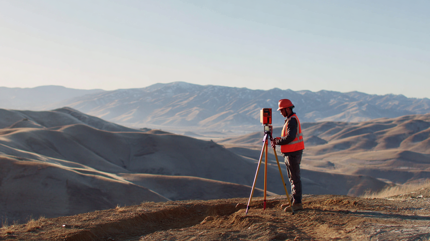
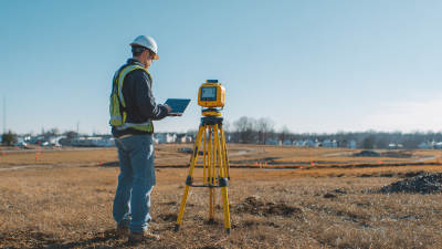
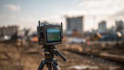
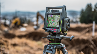
The advent of GNSS RTK technology has really changed the game for surveying and mapping. It’s made everything a lot more accurate and way more efficient. Lately, we've seen some exciting new stuff, like handheld GNSS RTK units and next-gen all-in-one devices. These really show how the industry is moving toward more compact and user-friendly tools that anyone can handle. For example, the rise of robotic systems and precision layout robots is shaking up traditional methods—now teams can work with incredible accuracy, and it's actually cutting down on labor costs. Industry reports say that with RTK tech, you can get location pinpoint accuracy down to just centimeters—that’s way better than older methods, no question about it.
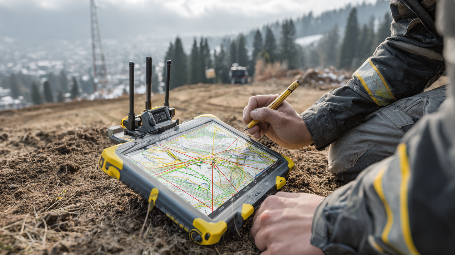
Plus, rugged GNSS RTK tablets are making life easier for field pros, letting them do mapping in tough environments without losing reliability or performance. Some recent data even suggests that RTK tech can speed up surveying workflows by up to 50%. That means projects get finished faster, without sacrificing quality. As more companies jump on board with these modern tools, the whole surveying scene is shifting toward sharper precision and bigger efficiency gains—highlighting how essential GNSS systems are in today’s geospatial work. Market predictions also show that demand for GNSS tech is set to grow a lot in the coming years, proving it's going to play a key role in shaping how things evolve going forward.
In the realm of Geographic Information Systems (GIS) and surveying, achieving high precision is paramount. The integration of advanced technologies such as GNSS RTK controllers and innovative tools like the Apeks Stylus Pens has transformed the field, enabling professionals to collect data with unparalleled accuracy. According to a recent industry report by GeoSpatial World, 75% of surveyed professionals indicated that utilizing RTK technology has significantly enhanced their mapping capabilities, confirming the necessity for such precision instruments in modern surveying practices.
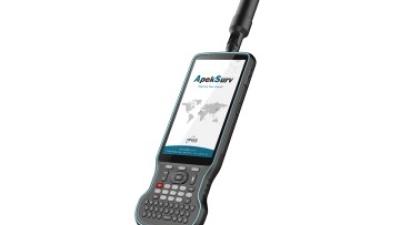
The UM980 motherboard stands out with its robust specifications designed to support demanding applications in GIS and surveying. Featuring a state-of-the-art 2.0 GHz Industrial Processor, this device ensures that users can run complex software seamlessly while handling large datasets. Coupled with Android 10 and GMS AR Core, it provides a user-friendly interface and superior graphics rendering for spatial data visualization. The new design includes the Corti Keyboard, facilitating efficient data entry and field editing. Furthermore, with a long-lasting 9000mAh battery, professionals can work for extended hours in remote locations without the constant worry of recharging, enhancing productivity in the field.
Storage and memory are crucial for the performance of GIS applications. The UM980 comes equipped with 64GB of ROM and 4GB of DDR4 RAM, ensuring high-speed access to essential data and applications. This immense memory capacity allows for the smooth operation of complex GIS software, enabling users to analyze large geospatial datasets in real-time. As reported by the International Society for Photogrammetry and Remote Sensing, the demand for high-performance mobile devices in surveying is on the rise, making this combination of hardware attributes not only relevant but essential for professionals striving for accuracy in their measurements and data collection.
: GNSS RTK technology refers to Global Navigation Satellite System Real-Time Kinematic technology, which has greatly enhanced surveying accuracy, improving location precision to within centimeters, far exceeding traditional techniques.
The implementation of GNSS RTK technology can accelerate surveying workflows by up to 50%, enabling professionals to complete projects faster without sacrificing quality.
Recent innovations include handheld GNSS RTK systems, rugged GNSS RTK tablets, and next-generation integrated devices, which are compact and user-friendly for field operations.
New unmanned aerial vehicle (UAV) solutions are integrating advanced GNSS technologies, allowing for high-resolution aerial imaging combined with ground data, enhancing GIS mapping capabilities.
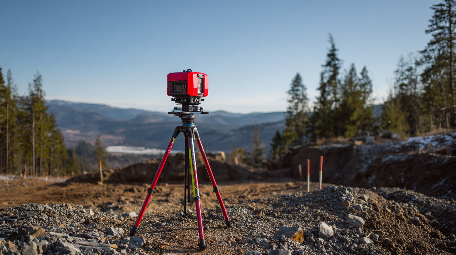
Advancements in GNSS RTK base stations have significantly improved mapping precision and efficiency, reducing positional errors to less than 2 centimeters, making them vital for urban planning and environmental monitoring.
It is important to consider the operating environment, especially the potential for multipath effects in urban areas, and to explore options that offer real-time data processing for enhanced operational efficiency.
A city development project demonstrated GNSS RTK's effectiveness by achieving millimeter-level precision in infrastructure placement, significantly reducing errors and the need for rework.
APEKS offers advanced GNSS/GPS systems and tailored surveying tools to help professionals execute complex mapping challenges, driving innovation and reliability in the geospatial industry.
Market research predicts a significant growth in demand for GNSS technology in the surveying industry, underscoring its critical role in shaping future geospatial operations.
The deployment of robotics and precision layout robots along with GNSS RTK technology allows teams to operate with higher accuracy and lower labor costs, transforming traditional survey methods.
The article titled 'Unlocking Precision: How GNSS RTK Base Stations Are Changing the Game in Surveying and Mapping' really drives home just how much GNSS RTK technology has improved the way we do land measurements. It does a good job of comparing old-school surveying methods with the newer GNSS RTK approaches, showing off how real-time kinematic positioning can make the whole process faster and way more accurate. Plus, it dives into some pretty exciting trends in GIS mapping that are actually being fueled by these advancements. Industries like construction and agriculture? They’re definitely feeling the benefits, and it’s exciting to see how they’re using these tools to get better results.
The article also shares some cool case studies that give a real-world look at how GNSS RTK is being applied in various mapping projects. Companies like Shanghai Apekstool (APEKS), known for their cutting-edge geospatial tools, are really pushing the envelope here. The integration of GNSS RTK Base Stations is totally transforming how surveyors work — helping professionals achieve much higher accuracy and work more efficiently. Honestly, it’s pretty inspiring to see how these tech upgrades are making a difference in the field.


 Hey, have you noticed how GNSS RTK base stations are really changing the game when it comes to GIS mapping? They’re making things way more precise and efficient than before. Lately, there have been some pretty exciting innovations—like new GNSS receivers that now pack in IMU technology alongside RTK, which means surveyors can get faster results with much better accuracy. From what I’ve read, using real-time kinematics in mapping has cut down positional errors to